Our Services
What we offer
Utility Locating
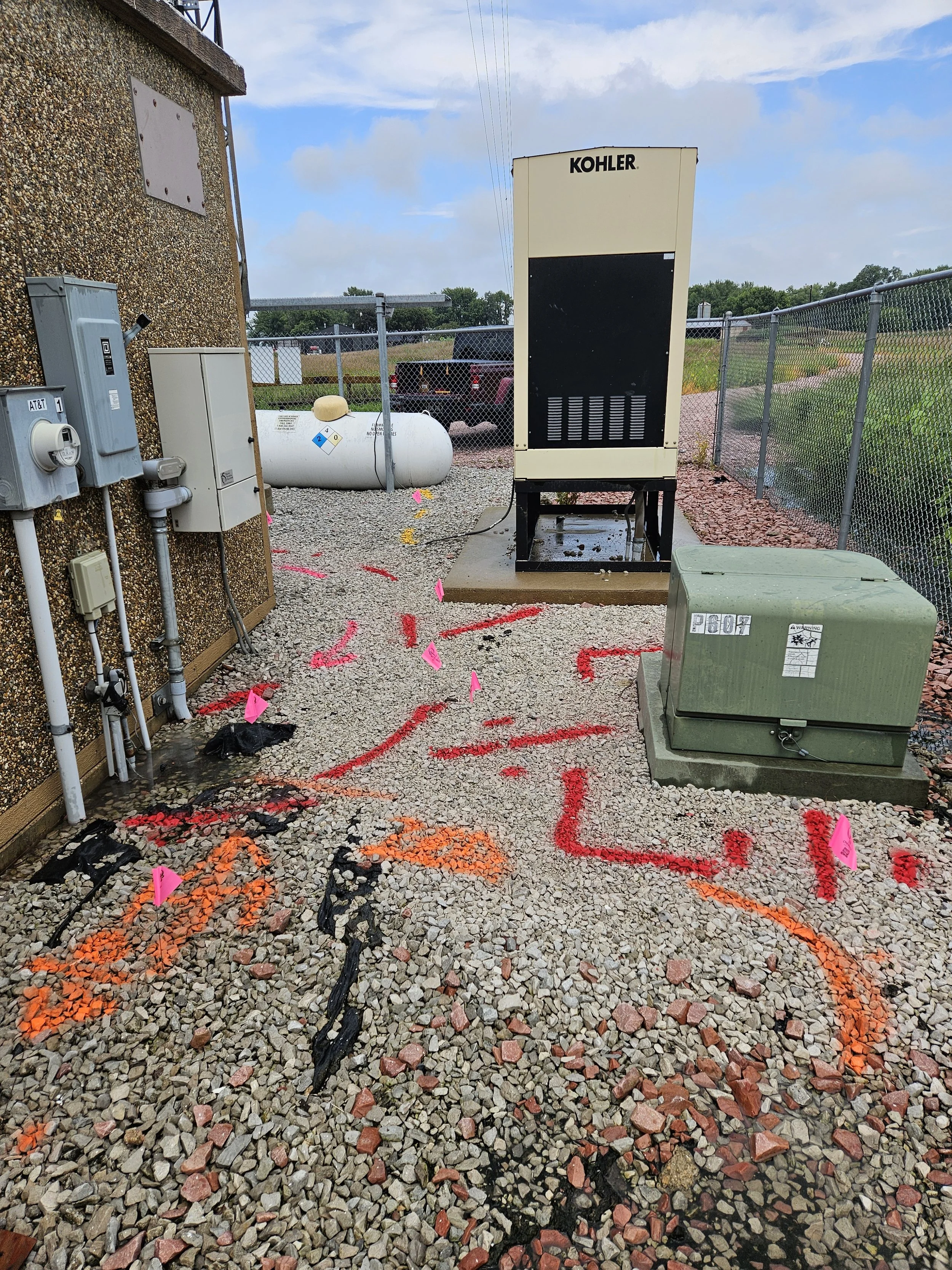
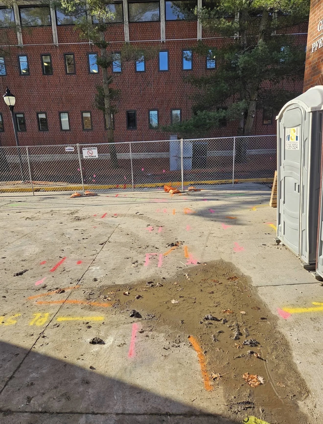
Traditional electromagnetic (EM) locating is used to identify and trace underground conductive utilities, including gas, electric, telephone, fiber, cable lines and more.
Ground Penetrating Radar
Ground Penetrating Radar (GPR) is used to identify unknown subsurface utilities and anomalies that cannot typically be detected using standard electromagnetic (EM) locating methods.
Utility Mapping
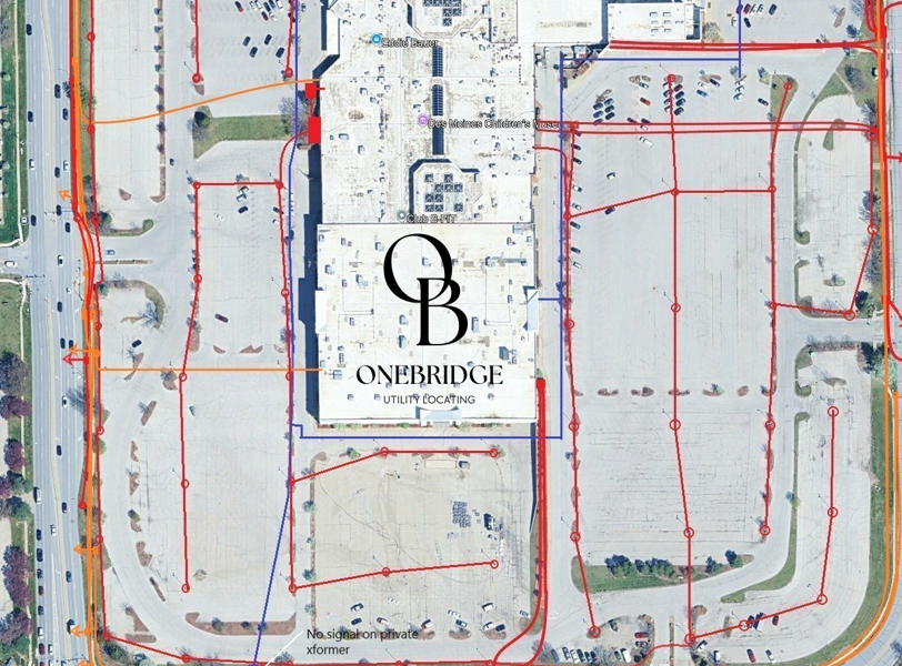
Utility mapping with sub-foot GPR accuracy allows you to view and share underground utility data through google earth. Maintain an up-to-date and accurate record of site utilities for future project and planning needs.
Concrete Scanning
Concrete scanning is a non-destructive concrete assessment method which uses ground penetrating radar, or GPR, to evaluate the integrity of the structure in place and locate embedded utilities prior to concrete cutting, coring, drilling, etc.